Where the storms go | 2-size printable download
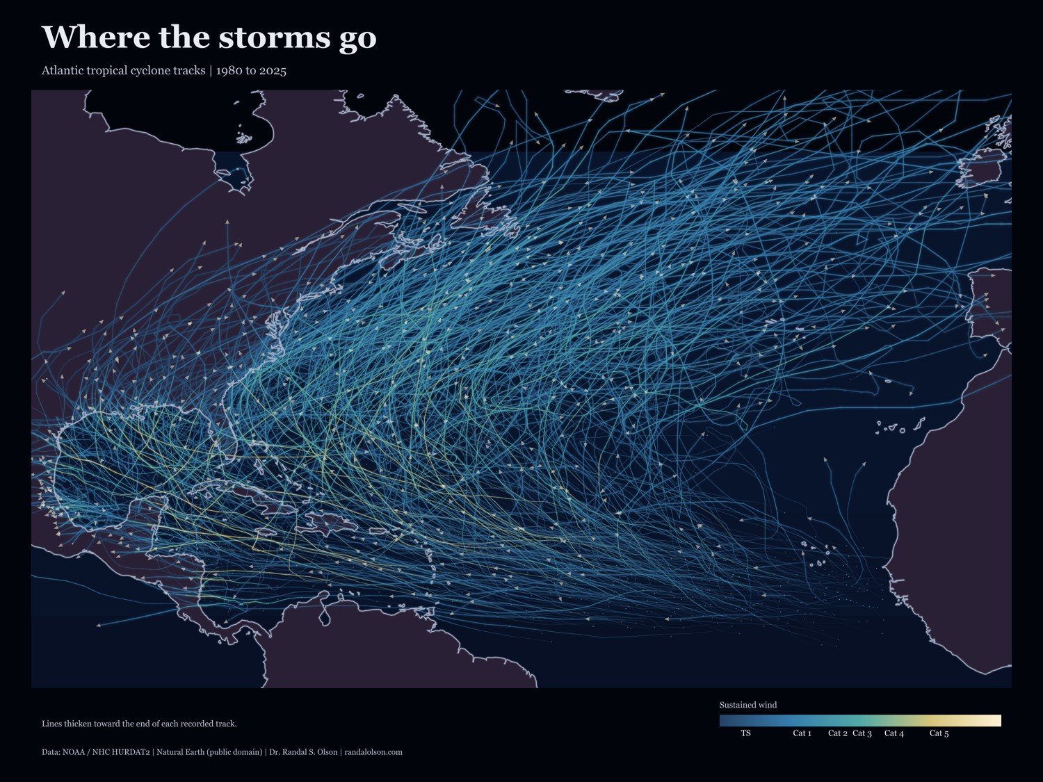
Atlantic tropical cyclone tracks from 1980 to 2025 on a dark basin map. Brighter tracks indicate stronger sustained winds; arrowheads mark the end of each recorded track.
Digital download: 24 x 18 and 36 x 24 inches, each as a PDF and PNG at 300 ppi.
Your ZIP includes 2 PDFs, 2 PNGs, the chart data, printing instructions, source credits, and usage terms.
This is a digital product: no physical product or frame ships, and there is no shipping charge.
For personal printing, including gifts. You may send the files to a print shop. Do not redistribute or resell the design files or sell reproductions. Source data retains its own licenses and public-domain rights.
Artwork: Dr. Randal S. Olson
Tracks: NOAA National Hurricane Center, HURDAT2 Atlantic best-track database.
https://www.nhc.noaa.gov/data/
Basemap: Natural Earth, public domain. https://www.naturalearthdata.com/about/terms-of-use/